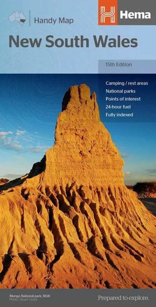
New South Wales Handy Map
0.0
( 0 )
Engelsk
15th edition 2018. A fully indexed state map of New South Wales at a scale of 1:1.400.000. Marked on the map are national parks, camping areas, caravan parks, rest areas, points of interest and 24-hou...
På lager i 0 butikker.
Forlagsbeskrivelse af New South Wales Handy Map
15th edition 2018. A fully indexed state map of New South Wales at a scale of 1:1.400.000. Marked on the map are national parks, camping areas, caravan parks, rest areas, points of interest and 24-hour fuel accompanied by a distance grid. - Comprehensive road detail - Road identification numbering - Opened Size: 500mm x 875mm Size: (folded) 125mm x 250mm
Detaljer
Forlag
Hema Maps
Udgave
0
ISBN
9781925625608
Sprog
Engelsk
Udgivelsesdato
30-11-2018
Varenr.
2735405
EAN nr.
9781925625608
Varegruppe
Maps/guides
