Entre Leman & Mont Blanc: Chablis Faucigny
0.0
( 0 )
Fransk

En del af IGN TOP75
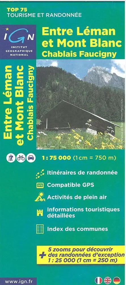
IGN´s range of maps all feature comprehensive road detail with road identification numbering, roadside rest areas, to access every particular place.
Added features such nature park, reserves boundar...På lager i 0 butikker.
Forlagsbeskrivelse af Entre Leman & Mont Blanc: Chablis Faucigny af IGN
IGN´s range of maps all feature comprehensive road detail with road identification numbering, roadside rest areas, to access every particular place.
Added features such nature park, reserves boundaries, cycle tracks, hiking trails stopover lodges, towns of artistic interest, museum, winter sport sites, climbing rock,leisure parks and much more convenient information make these maps appropriate to suit all visitors needs.
Printed one side and complete with the city index the TOP75 are the ideal travelcompanion. A very easy to read cartography including relief shading and contours (equidistance = 40 m). Scale of the general map 1 : 75 000 (1cm = 750m). Bonus at least, 5 extracts of TOP25 Scale 1 : 25 000 (1cm = 250m). Focuses on the most famous spot of the covered area enable every user to enjoy outdoor activities as well.
Detaljer
Serie
Forlag
IGN
Udgave
0
ISBN
9782758526520
Sprog
Fransk
Originalsprog
Sproget kan ikke bestemmes
Udgivelsesdato
31-03-2015
Format
Falset
Varenr.
2190073
EAN nr.
9782758526520
Varegruppe
Maps/guides