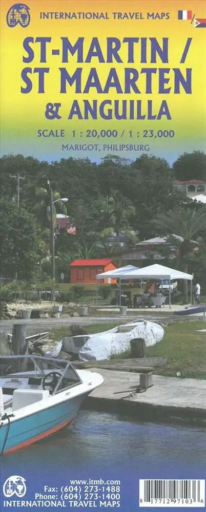
Saint Martin - Sint Maarten & Anguilla
0.0
( 0 )
Engelsk
En del af International Travel Maps
Anguilla is a popular cruise ship destination. This island occupies all of side one, with inset maps of Dog Island, Prickley Pear Cays, and aptly-named Scrub Island. Anguilla enjoys several sandy beac...På lager i 0 butikker.
Forlagsbeskrivelse af Saint Martin - Sint Maarten & Anguilla
Anguilla is a popular cruise ship destination. This island occupies all of side one, with inset maps of Dog Island, Prickley Pear Cays, and aptly-named Scrub Island. Anguilla enjoys several sandy beaches, only some of which have been developed for resort use, and those ‘resorts’ that do exist tend to be modest operations. The west end Village area seems to have the most beaches, with resorts on Barnes Bay and Maunday’s Bay, but the best beach is a bit further east, at Rendezvous Bay. Crocus Hill, in the centre of the island, contains most of the shopping facilities for the island, and Shoal Bay, on the northern coast has another lovely beach resort area. The other side of the map is devoted to what must be the most unusual aspect of the Caribbean – a relatively small island shared by two European powers, France and Netherlands. The island is Saint Martin (it’s French as well as its English name) or Sint Maarten (its Dutch name). The Dutch occupy the south half of the island, with the cruise ship terminal at Philipsburg, the capital. The town is located along a stretch of beach and is only three streets wide. On the other side of town is Great Salt Pond, so the town has no place in which to expand, so is very congested. Touristic attractions tend to spread out from the town along the south coast. If one rents a car, it is a very enjoyable trip to the north half (the French part) of the island. There is no border, so the only difference is language. Both halves of the island use the Euro as their currency. The northern half has two well-developed beach resort beaches at Orient Bay and at Baie de Grand Case The capital, Marigot, contains most of the shops The highest point of land on the island is Pic Paradis (424m) in the French portion. Inset maps of Philipsburg and Marigot are included. 1st edition 2019. Scales: Anguilla 1:23.000, Saint Martin 1:20.000/Sint Maarten 1:23.000.
Detaljer
Serie
Forlag
ITMB publishing
Udgave
0
ISBN
9781771297103
Sprog
Engelsk
Originalsprog
Sproget kan ikke bestemmes
Udgivelsesdato
13-04-2019
Format
Falset
Varenr.
2637068
EAN nr.
9781771297103
Varegruppe
Maps/guides
Bogens kategorier Klik på en kategori for at se lignende bøger
Anmeldelser Saint Martin - Sint Maarten & Anguilla
Brugernes anmeldelser
Andre har også kigget på
Som medlem af Klubben sparer du 50% fragten og optjener point, når du handler | Medlemskab til 0 kr. uden binding og gebyrer.
