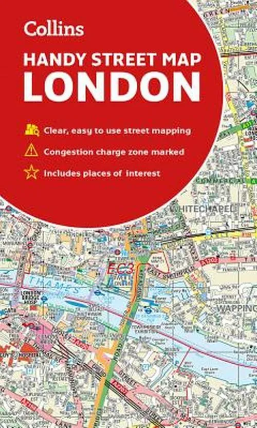
London Handy Street Map
0.0
( 0 )
Engelsk
Clear and easy-to-read map of central London and surrounding area. Contains detailed mapping, presented in a handy compact format. This attractive map, ideal for both tourists and residents, and fully...
På lager i 1 butikker.
Forlagsbeskrivelse af London Handy Street Map af Collins
Clear and easy-to-read map of central London and surrounding area. Contains detailed mapping, presented in a handy compact format. This attractive map, ideal for both tourists and residents, and fully updated, has an extensive area of coverage and displays a wealth of detail. This map includes:
- New for this edition: Electric car recharging sites
- Fully classified roads
- Congestion charging zone & T-charge (Ultra Low Emission Zone from April 2019)
- Postal districts and boundaries clearly depicted
- Full indexes to street names (on back of map), place names and places of interest
- Fully updated London underground map conveniently located on the back cover
- Covers this area: Extends from Hampstead in the north to Clapham in the south and from Hammersmith in the west to Greenwich in the east.
- Scale: 1:17,500
Detaljer
Forlag
Collins
Udgave
0
ISBN
9780008320584
Sprog
Engelsk
Originalsprog
Sproget kan ikke bestemmes
Udgivelsesdato
07-02-2019
Format
Falset
Varenr.
2675972
EAN nr.
9780008320584
Varegruppe
Maps/guides
Bogens kategorier Klik på en kategori for at se lignende bøger
Anmeldelser London Handy Street Map
Brugernes anmeldelser
Andre har også kigget på
Som medlem af Klubben sparer du 50% fragten og optjener point, når du handler | Medlemskab til 0 kr. uden binding og gebyrer.
Ofte købt sammen med
Som medlem af Klubben sparer du 50% fragten og optjener point, når du handler | Medlemskab til 0 kr. uden binding og gebyrer.
