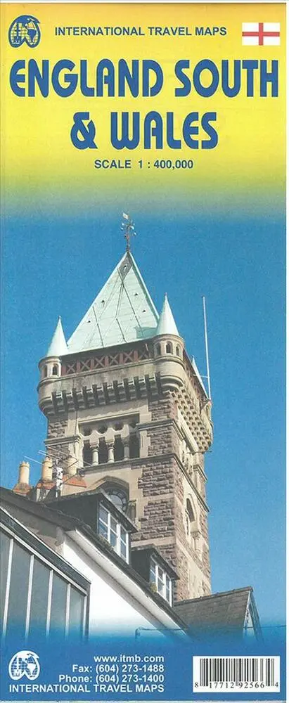
England South & Wales
0.0
( 0 )
Engelsk
En del af International Travel Maps
Scale 1:400.000. Most visitors to the UK fly into one of London's four airports and combine a visit to the city with an opportunity to travel to various destinations within striking distance of London...På lager i 0 butikker.
Forlagsbeskrivelse af England South & Wales
Scale 1:400.000. Most visitors to the UK fly into one of London's four airports and combine a visit to the city with an opportunity to travel to various destinations within striking distance of London. England is so incredibly rich in heritage and scenic attractions that it is extremely difficult to portray the country as a map of the entire entity. As a result, England lends itself nicely to be divided into a central/northern portion and a southern portion. To fit areas as diverse as Cornwall and Norwich on one sheet, one needs to have a vertical frame, with Devon/Cornwall up to the top of Wales on one side and Wiltshire to Kent up to York (admittedly, not normally considered to be part of 'southern', but vertically, that's what happens. At this scale, all of southern England and all of Wales can be shown in good detail, especially the motorways, A-type roads, and most B-type roads. Most C-level village roads are also there, but the scale available makes them somewhat difficult to see. Also, the scale enables us to add many more place names than was previously possible, but there are limits to what one can portray at any particular scale and the smallest level of village life will have to await more detailed maps at 1:250,000 that we will be preparing at a future date. This map is what we call a 'work in progress' and we would welcome input as to how to improve future editions. The map is quite detailed but not cluttered, and covers an area that one can drive in a four to five hour time period from Heathrow. A generation ago, this would have been impossible, but road improvements have extended a visitor's ability to cover more distance in the same time period as I used to cover in the 1960s. Somewhat surprisingly, the map also shows how the 'greenbelt' surrounding London is steadily disappearing as the city continues to expand.
Detaljer
Serie
Forlag
ITMB publishing
Udgave
1
ISBN
9781771292566
Sprog
Engelsk
Originalsprog
Sproget kan ikke bestemmes
Udgivelsesdato
15-07-2015
Format
Falset
Varenr.
2210215
EAN nr.
9781771292566
Varegruppe
Maps/guides
Anmeldelser England South & Wales
Brugernes anmeldelser
Andre har også kigget på
Som medlem af Klubben sparer du 50% fragten og optjener point, når du handler | Medlemskab til 0 kr. uden binding og gebyrer.
Ofte købt sammen med
Som medlem af Klubben sparer du 50% fragten og optjener point, når du handler | Medlemskab til 0 kr. uden binding og gebyrer.
