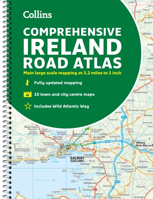
Comprehensive Road Atlas Ireland
0.0
( 0 )
Engelsk
Clear, detailed road atlas of Ireland in a handy A4 spiral-bound format. Clear, detailed road atlas of Ireland in a handy A4 spiral-bound format.This comprehensive, general purpose road atlas is ideal...
På lager i 0 butikker.
Forlagsbeskrivelse af Comprehensive Road Atlas Ireland af Collins Maps
Clear, detailed road atlas of Ireland in a handy A4 spiral-bound format. Clear, detailed road atlas of Ireland in a handy A4 spiral-bound format.This comprehensive, general purpose road atlas is ideal for both business and pleasure.Highlights include:Clear mapping at a scale of 3.2 miles to 1 inch, which is useful for navigationAn additional 9 miles to 1 inch route planning mapPlaces of interest section with information and photographsA range of fully indexed town and city centre maps, including: Bangor, Belfast, Cork, Dublin, Limerick, Lisburn, Londonderry (Derry) and NewtownabbeyThis updated edition boasts road mapping packed with detail. There is a colour classified road network that also shows toll roads. Blue Flag and Green Coast beaches are shown along with tourist information centres and a wide range of tourist attractions. There is also comprehensive information for visitors to Belfast, Cork, Dublin and Limerick.The perfect companion for anyone visiting Ireland.
Detaljer
Forlag
Collins
ISBN
9780008412814
Sprog
Engelsk
Sider
160
Udgivelsesdato
02-03-2023
Format
Spiralryg
Varenr.
3218084
EAN nr.
9780008412814
Varegruppe
Engelsk non fiction div.
Højde/Dybde (mm)
13
Bredde (mm)
221
Længde (mm)
299
Vægt (g)
496
Bogens kategorier Klik på en kategori for at se lignende bøger
Anmeldelser Comprehensive Road Atlas Ireland
Brugernes anmeldelser
Andre har også kigget på
Som medlem af Klubben sparer du 50% fragten og optjener point, når du handler | Medlemskab til 0 kr. uden binding og gebyrer.
Ofte købt sammen med
Som medlem af Klubben sparer du 50% fragten og optjener point, når du handler | Medlemskab til 0 kr. uden binding og gebyrer.
